Some shots from my walk up Deer Hill at Carradale last Saturday (30th June). The walk took me north along the forestry
road at Moineruadh to the car park near Coronation Wood. The Kintyre Way took me uphill from there for the next mile or
so to meet the Deer Hill path just below the summit. From the trig point there is a path that runs south all the way
down to the forestry road just above the Network Centre. My walk didn't start at the Network Centre, but it is accessible
from there and the car park can be taken advantage of.
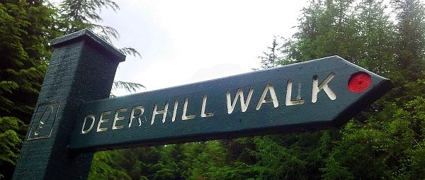
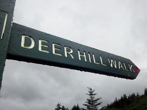
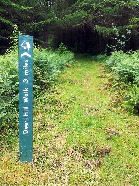
Although I wasn't actually following the official Deer Hill Walk, it is very well signposted
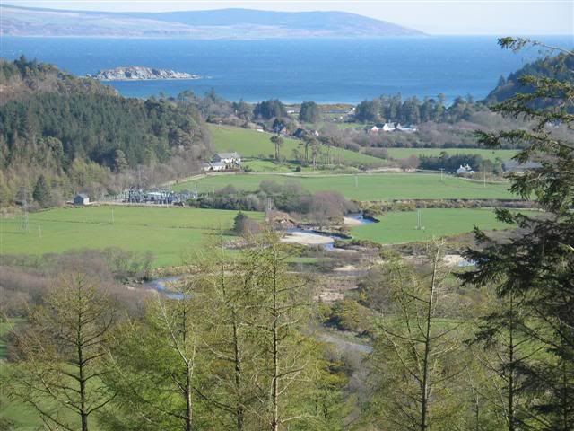
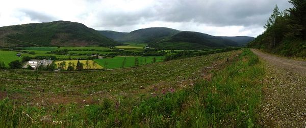
Heading north and the view above Britains most picturesque power sub-station
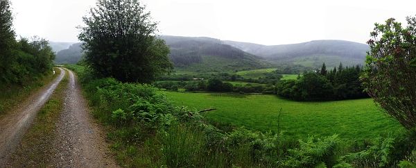
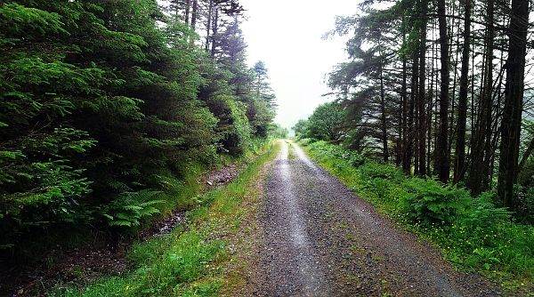
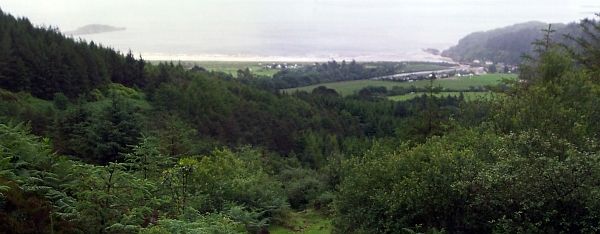
Looking south from the track near to Kernashie Wood
The track above Kernashie Wood
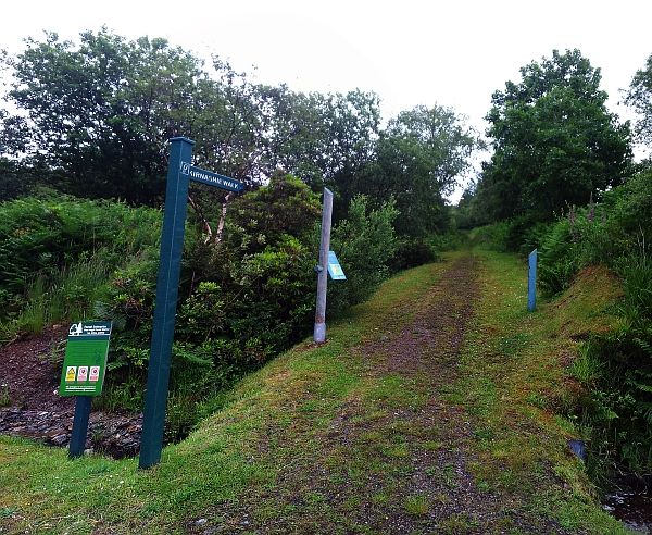
From the car park near Coronation Wood follow the Kernashie Walk/Kintyre Way path.............
..........to where it meets a forestry road
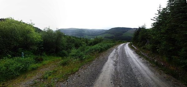
Looking back towards Cnoc na h-Aine above Lag Kilmichael
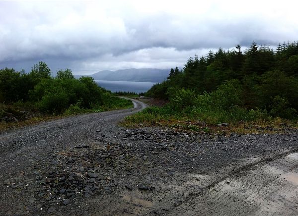
The first glimpse of Arran. The Kintyre Way swings right here and heads south towards Deer Hill
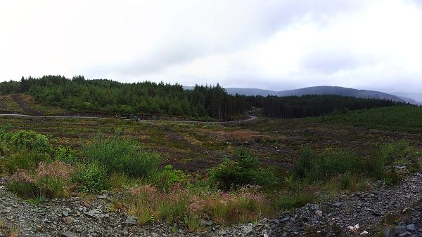
Forestry operation and clearfell north of Deer Hill
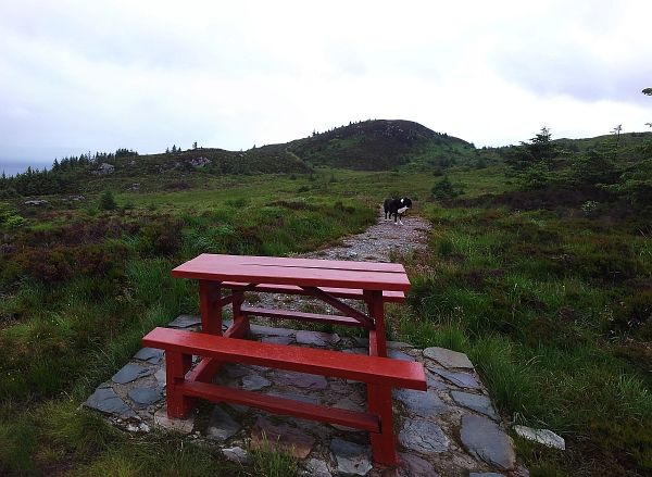
The picnic table on the unnamed hill just north of Deer Hill (Deer Hill in background)
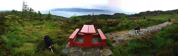
The view east from the picnic table
Back onto the Kintyre Way
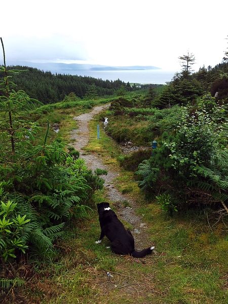
Where the Kintyre Way meets the Deer Hill walk
The view east from just below Deer Hill
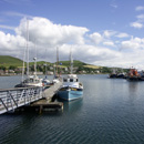
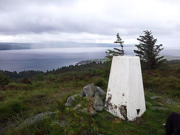
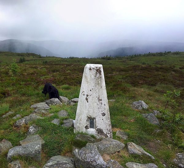
Deer Hill Trig point at 230 metres! Carradale harbour below
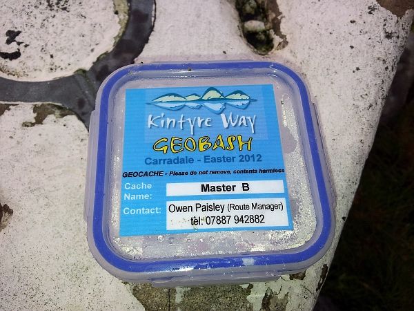
A geocache left over from an event in Easter
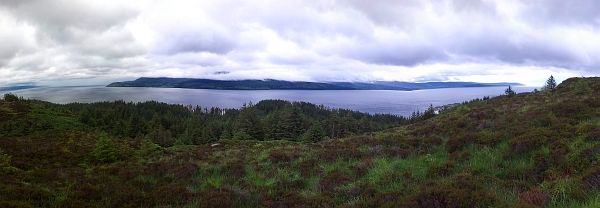
The view west towards Rhonadale. That rain hit me five minutes later
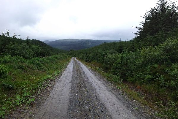
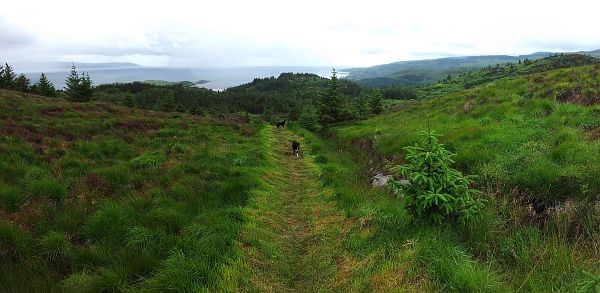
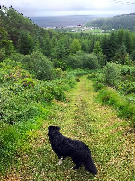
The track south from Deer Hill
Loch Park seen from above
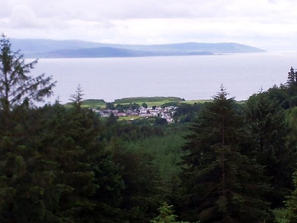
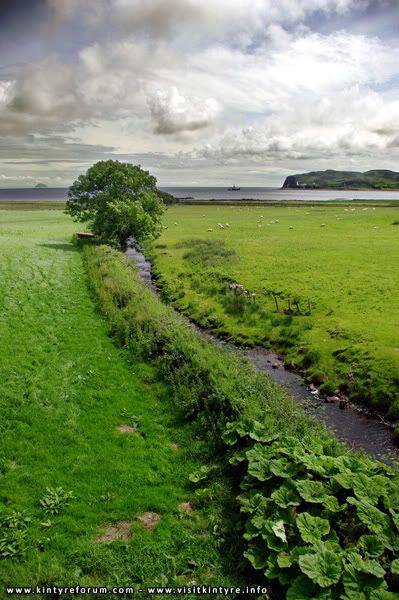
Waterfoot
The path heading down to the forestry road
Looking back up the path from the road
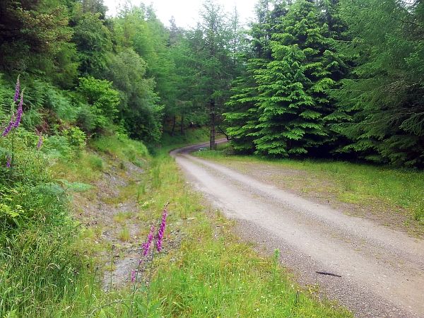
The forestry road above the Network Centre
Remember, a penguin is for life not just for elevenses.